Jump to the "How can I do this?" section.
How were the HGIS layers created?
- The layers of building footprints were created with ESRI ArcGIS. Historic maps and aerial photos were georeferenced, or overlaid on their corresponding physical coordinates. The buildings on these historical materials were then traced to create the shapes you can see on the website. After the layers were created in ArcGIS, they were styled in TileMill to be different shades of green.
- The marker layers were created in MapBox.
What's the thinking behind the time ranges you chose?
- The time ranges were chosen based on specific events and themes which could be seen as turning-points for the hospital. This lends a coherence to each time period, even though they are of varying sizes.
A more detailed and technical description of my workflow can be found on my blog.
How can I do this?
Are you interested in investigating a historic property? Many of the sources you need to begin this research are publicly available. Even if you aren't creating a website, many of the steps I followed will apply to non-digital projects.
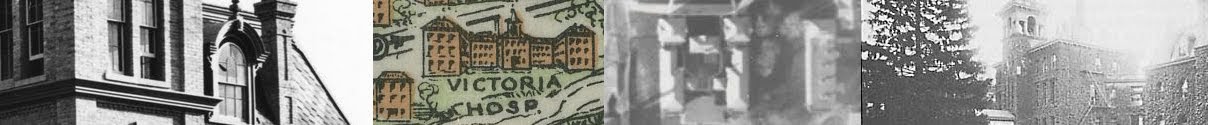
1. Gather Materials Start your search at local libraries, archives, museums, historical societies, universities and city planning departments. Look for materials like:
- Maps. There are lots of different kinds of maps, so keep an eye out for ones that show your building's footprint. Fire Insurance Plans are especially good.
- Photographs.
- Architectural drawings.
- History books and articles. This will help you learn about the context of your property. If your building belongs to an institution or corporation, you may find useful books published by that organization.
- Heritage evaluations. It's possible that someone may have already written a report about the history of the property and why it's significant. These reports are sometimes available online.
- Newspapers. If you know your building was the focal point of a specific event, these can be a great resource for first-hand information.
- City directories, censuses, and assessment rolls. These are necessary if you want to do a very detailed investigation into who lived at the property.
2. Assemble the HGIS. If you have GIS software, you can scan your historic maps and photographs, import them and georeference them. They can be used as the basis for new shapefiles. Your HGIS can then be exported as a PDF for immediate printing, or imported into TileMill if you plan on sharing the map online. However, if you're not familiar with GIS, there are other ways to create a comparison of your building footprints.
- Scan your historic material and trace it in Photoshop or something similar. Resize the layers so they match up.
- Trace reproductions of the maps and photos using tracing paper or carbon paper. Ideally, ensure your reproductions represent your buildings at roughly the same size. Find a modern map to place underneath your tracings.
3. Add your historical evidence.
- For online viewing: create markers after uploading your TileMill layers to MapBox. Add images and links using HTML.
- For printing from ArcGIS: create layers of points to which the descriptions can be joined. For photos, use GeoImgr to geotag your photos, then use the ArcGIS "Geotagged Photos to Points" tool to make them appear on your map.
- On paper: use multicoloured or numbered pins or stickers to represent significant places and events. The pins or stickers can be used to direct the reader to historical captions stored elsewhere, for example in a booklet.